rayshader: Maps in 3D
(Code available at harningle/useful-scripts)
The 3D maps from @researchremora look very nice. To me, they are visually more telling than the normal 2D density maps. This post tries to reproduce such maps using rayshader.
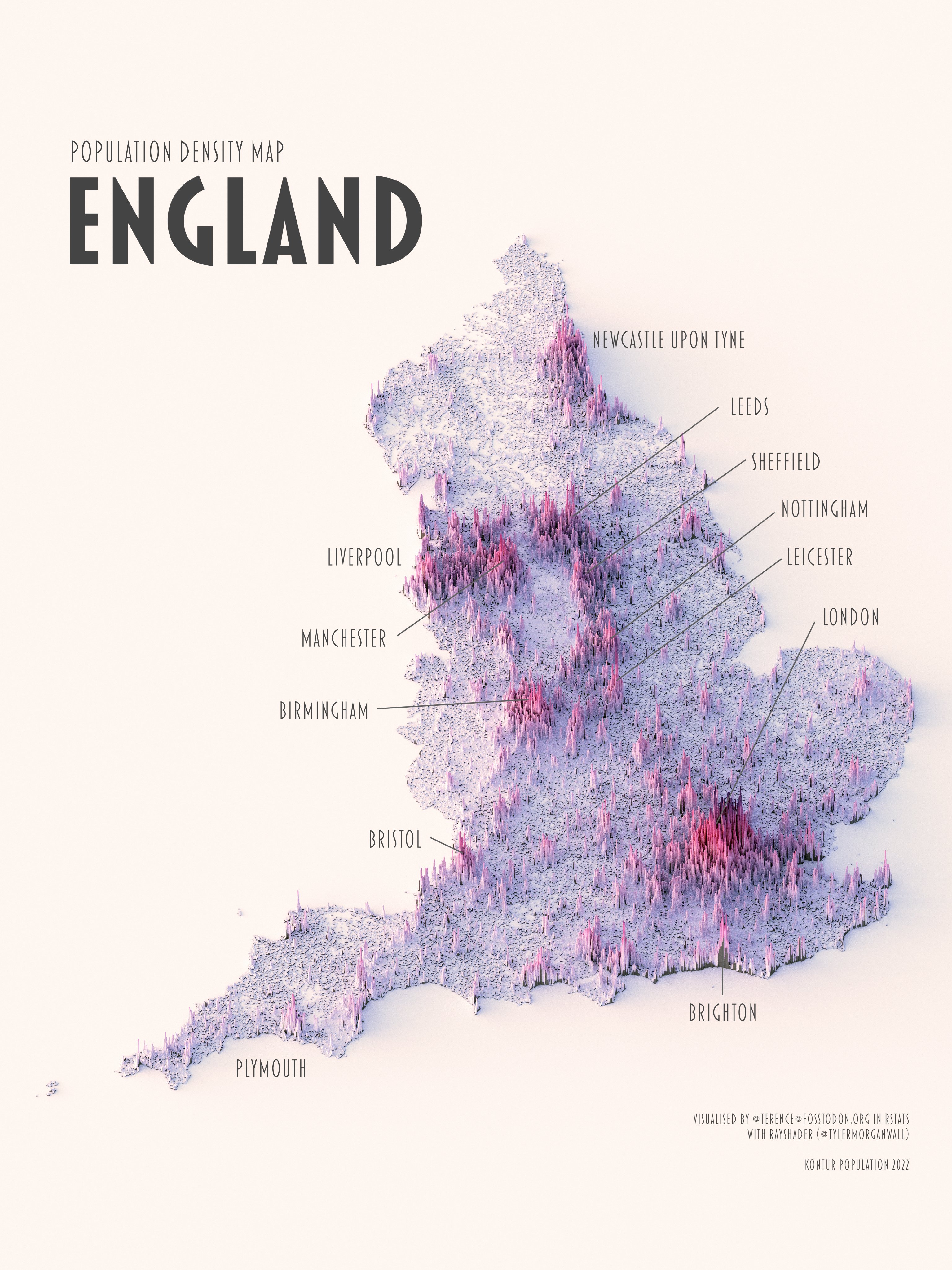
(A) rayshader 3D map

(B) Usual 2D map
Source: https://x.com/researchremora/status/1606043431150592000, and Carnell, Edward J., Sam Tomlinson, and Stefan Reis. UK Gridded Population at 1 Km Resolution for 2021 Based on Census 2021/2022 and Land Cover Map 2021. Lancaster, UK: NERC EDS Environmental Information Data Centre. https://doi.org/10.5285/7beefde9-c520-4ddf-897a-0167e8918595. The same source is used throughout the post.
Tuning the map
Drawing maps using rayshader is easy, but making them beautiful isn’t. A few parameters need tuning.
Rescaling. The raw population data is extremely skewed. It may look like: London = 1,000,000 and all countrysides = 10. When the two numbers are plotted on the same map, you will see a super tall London, and everything else is flat. So we need to take some transformation to make the distribution less skewed. Here I use $pop = pop^{0.9}$.
Light Angle. When we plot things in 3D with shade/shadow, we need to specify where the light comes from. Specifically, there are two parameters: sunangle and anglebreaks. sunangle controls where light originates. If we want the light to come from top left, and the shadow will be draw towards bottom right, then we need to set it to 315 (north west). anglebreaks specifies how high the light is and thus how long the shadow is. E.g., at noon the sunlight is perpendicular to the earth, and we have a very short shadow. When the azimuth angle is small, then the shadow is long. These two also need a bit trial and error.
Camera. Given the light and the object, we can take photo from difference angles/directions. They can be controlled in rayshader::render_camera. Again, just try a few different values and find your favourite.
This is my final output. No as good as the original twitter post, but looks nicer to be than the 2D map.
